


URGENT UPDATE: A series of powerful cold fronts are sweeping through south-eastern Australia, bringing significant snow flurries expected across four states this weekend. According to Sarah Scully, a senior meteorologist at the Bureau of Meteorology, this weather event will unleash snow accumulations ranging from 50cm to 80cm—potentially even up to 1 metre—from September 1 to 3, 2023.
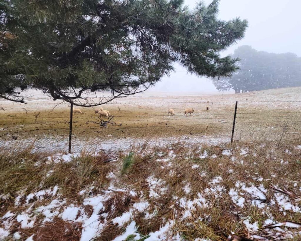
The first cold front moved into New South Wales on Wednesday afternoon, ushering in a wave of cold air from Antarctica. This is expected to lead to subzero temperatures across the Australian Alps, including renowned ski resorts like Falls Creek, Mount Buller, and Mount Hotham. Snow levels are predicted to drop to as low as 300m in Tasmania and 600m in Victoria, with flurries anticipated in regions such as the Dandenong Ranges and the Grampians.
In a surprising twist, Scully noted the possibility of snow even in South Australia, particularly in the Flinders Ranges—an event that has not occurred since 2022. Additionally, snow is forecast for the summit of Kunanyi/Mount Wellington in Hobart, adding to the winter wonderland scenario across the south-east.
Severe weather warnings are in effect for damaging winds, particularly near Geelong and the eastern ranges of Victoria. Residents in affected areas are urged to prepare for hazardous conditions as the cold front intensifies.
The weather is set to fluctuate, with periods of clear skies expected between fronts. However, Scully warns that this will signal a chilly start to spring across much of the country, with temperatures dropping as much as 12°C below average in various regions.
In stark contrast, sea surface temperatures remain abnormally warm across the north-east, south-east, and south-west of Australia, with last month’s average exceeding 0.56°C above normal. This anomaly can lead to heightened storm severity, as warmer oceans contribute increased moisture and energy to weather systems.
While this weather pattern brings snow and colder temperatures, Scully confirmed that there will be no additional rainfall expected for the northern tablelands, which were recently impacted by major flooding. This news comes as a relief to residents, especially with ongoing flood warnings still in effect for the Namoi River.
As this weather event unfolds, officials urge all residents in impacted areas to stay updated on local forecasts and take necessary precautions. With winter’s last hurrah underway, the region is bracing for what could be an unforgettable weekend of snowfall and cold temperatures.
Stay tuned for further updates as this developing situation progresses.