


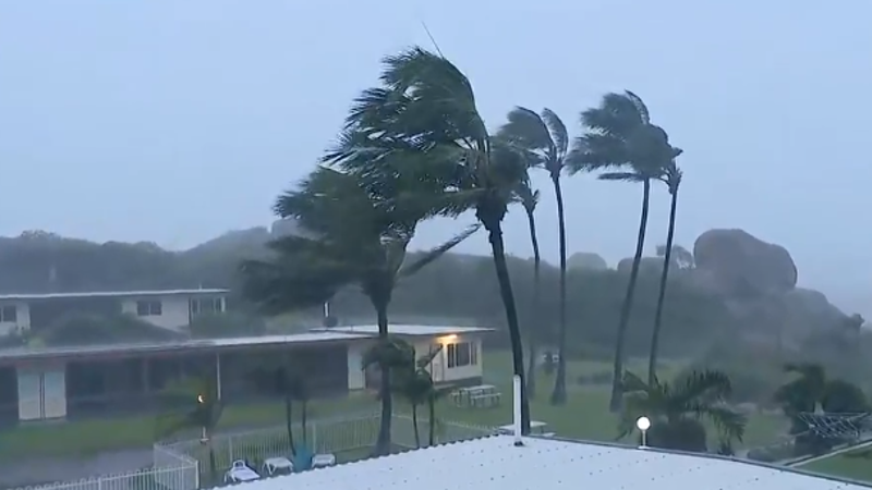
UPDATE: Tropical Cyclone Koji is expected to make landfall in North Queensland within hours, bringing severe weather conditions that could pose serious risks to residents. The Bureau of Meteorology has confirmed that despite being downgraded to a Category 1 system, Koji will unleash damaging winds of up to 100 km/h and heavy rainfall starting today, October 15, 2023.
Residents in coastal areas are urged to take immediate precautions as the cyclone approaches. The potential for flooding and infrastructure damage is high, with emergency services on standby to respond to any incidents. Authorities are advising locals to secure their properties and stay indoors during the storm.
The cyclone is projected to impact regions including Townsville, Cairns, and surrounding areas, where rainfall amounts could reach up to 150 mm. The situation remains fluid, with officials continuously monitoring the cyclone’s path and intensity.
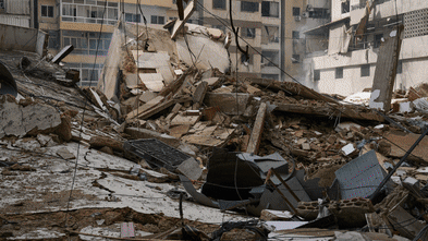
This developing situation poses an urgent threat to public safety and local ecosystems. The last cyclone to hit North Queensland with such intensity caused significant damage, leaving communities in distress. Local shelters are prepared to accommodate those who may need to evacuate as conditions worsen.
What’s Next: Authorities recommend residents stay tuned for updates and adhere to any evacuation orders issued. The latest forecasts indicate that Koji could linger in the region, prolonging adverse conditions. Stay informed through local news and official channels for real-time updates on the cyclone’s impact.
The community response is crucial as residents band together to support one another during this challenging time. Share this urgent news with loved ones to ensure everyone is prepared for the impending storm.