


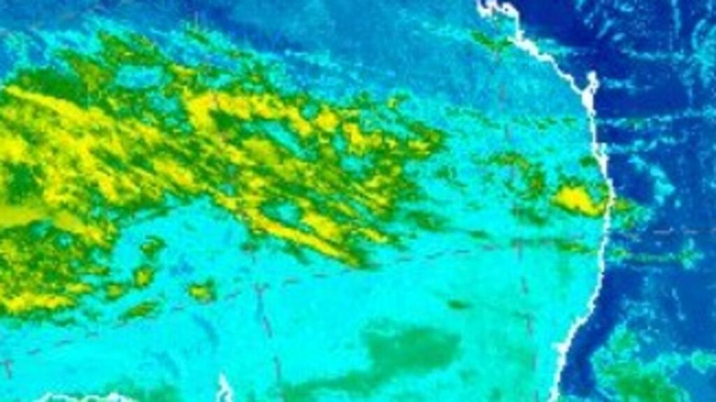
UPDATE: A massive rain band is advancing from the Australian interior towards the east coast, poised to unleash significant rainfall across large parts of Queensland and New South Wales starting this weekend. Meteorologists warn that millions could be affected as this weather system makes its way into the Pacific Ocean.
Sky News meteorologist Rob Sharpe has confirmed that Sydney should prepare for “colder, wet weather” over the next few days. He noted, “It doesn’t look as wet as the recent five-day stretch where most of Sydney saw over 10mm of rain, but we expect around 50mm from Friday to Monday.” Many residents are already reconsidering their weekend plans due to the impending downpour.
As the rain band approaches, New South Wales coastal areas are also set to experience “plenty of showers” throughout the weekend. Inland regions can anticipate wet conditions beginning Friday, with rainfall intensifying across the state. Queenslanders can brace for a deluge starting Friday, with showers expected to ramp up significantly.
The weather forecast for Sydney on Thursday, October 26, 2023, shows a minimum temperature of 11C and a maximum of 17C, accompanied by early showers. Meanwhile, Melbourne will face cooler conditions with a minimum of 5C and a maximum of 14C, though rain chances remain low.
In Brisbane, temperatures will start at 13C and peak at 23C with a 20% chance of rain. Perth will avoid the rain, enjoying dry conditions with a minimum of 7C and a maximum of 21C. Adelaide anticipates a maximum temperature of 16C and a slight 10% chance of rain, while Canberra will endure a chilly low of 0C, reaching a maximum of 14C under dry skies.
Residents are urged to stay updated on weather alerts as this significant rain event unfolds. With just hours until the rain begins, it is crucial to prepare for potential disruptions and ensure safety during the inclement weather.
Stay tuned for further updates on this developing situation as meteorologists monitor the rain band’s progress across Australia.