


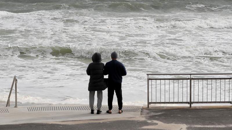
UPDATE: Intense winds are battering Western Australia (WA) this evening, with the Bureau of Meteorology issuing a severe weather warning for parts of the state. The alert, confirmed just moments ago, warns of damaging wind gusts as a cold front sweeps across the region.
Affected areas include Mandurah, Bunbury, Margaret River, and Windy Harbour. The storm system is expected to bring gusty showers and moderate rainfall, with isolated thunderstorms possible in the far southwest.
The cold front is projected to reach the Southwest Capes around sunset, moving rapidly along the west coast and expected to hit Perth by mid-evening. Winds could reach damaging speeds of up to 100 km/h for a short period as the front passes but are likely to ease quickly thereafter.
Residents in the impacted regions should prepare for potential hazards. The Department of Fire and Emergency Services (DFES) advises that individuals outdoors should seek safe shelter away from trees and power lines. Inside, close curtains and blinds, and stay clear of windows to avoid injury from flying debris.
If you see fallen power lines, treat them as live and dangerous. The DFES also cautions against using landline telephones during thunderstorms and recommends unplugging electrical appliances.
For those facing severe property damage, such as flooding or a breached roof, contact the State Emergency Service (SES) at 132 500.
Authorities report that gusts of 50 to 60 km/h are expected as the front moves through. Key locations at risk include Busselton, Augusta, and other areas along the coast.
Stay tuned for further updates on weather warnings through the Bureau of Meteorology’s official website. This developing situation requires immediate attention to ensure safety in the wake of severe weather conditions.
Stay safe and stay informed.